This map belongs to Book 17 by Cambridge IELTS. BAWA IELTS has written it in its own language considering plagiarism policy. We respect the intellectual property rights of the real owner of provided data.
The maps provide information about the industrial area in the town of Norbiton. The first map focus on the current scenario and the second one emphasises the future. Overall, the future will face a number of changes.
According to the data, the farmland is located in the North direction, and in the future, it will be replaced by a housing society. The farmland will be relocated in the North-North East direction. The location of the roundabout will remain the same. However, in the future, the planners will swap factories around it with a medical centre, shops and housing zones. It will have two more exits instead of two only right now. The second exit will approach housing areas in the North direction. Moreover, just above the third exit, there will be a playground with two more housing societies. Just below, one large housing area will be constructed. A school has been also planned in the extreme East direction. In the future, this roundabout will be connected to another one in the South that will have left and right exits.
Finally, the locations of Town and River will be unchanged. The town will be in the South- West to North-West, and River will flow from North-West to North-East.
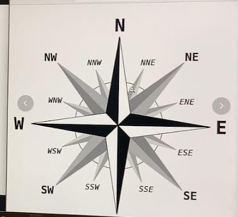
Universal Diagram for Directions

